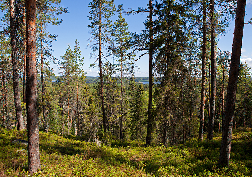
The terrain of Kuopio-Jukola 2014 will be varied nature typical of the area. There is no earlier modern orienteering map to cover this area.
There are, however, old historical maps covering the competition area, the first one published in 1778, when Finland still was part of Sweden. After 1898 there was a rather clear map of the area available. The first map of the area where the competition centre is located is from 1909. Some of the old maps will be published on this web site later on.
The map made for Kuopio-Juokola 2014 is up-to-date, the size of the area being 12 km2. The terrain is hilly and water can also be found in the area. There are enough differences of height and the terrain is mainly easy to run. There has been no cutting in a bigger scale in the forest.
The terrain of Kuopio-Jukola offers orienteerers from all over the world a competition which will be an enchanting experience – absolutely fabulous!


