


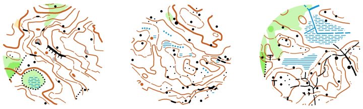
Image: map samples of the Kangasala Jukola terrain mapped by Janne Weckman. Scale of the map is 1:10000, contour interval 5m.
Terrain description of Kangasala Jukola 2019
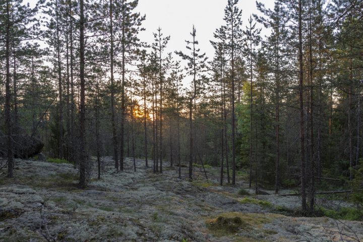
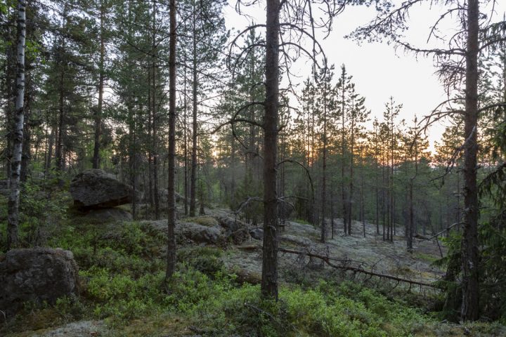
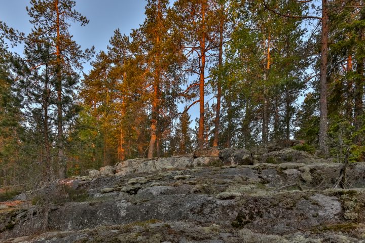
Terrain of Kangasala Jukola 2019 is a variable backwoods terrain typical for the area. Maximum height difference on the terrain is about 80 meters. There are only a few footpaths, but plenty of tracks created by forestry vehicles. Runnability varies considerably. The forest is mainly quite young and therefore, visibility is limited. Nevertheless, successful route choices will show to competitors the best sides of the terrain. Good performance demands determination, persistence and brisk sporting spirit!
Old maps from the competition area.
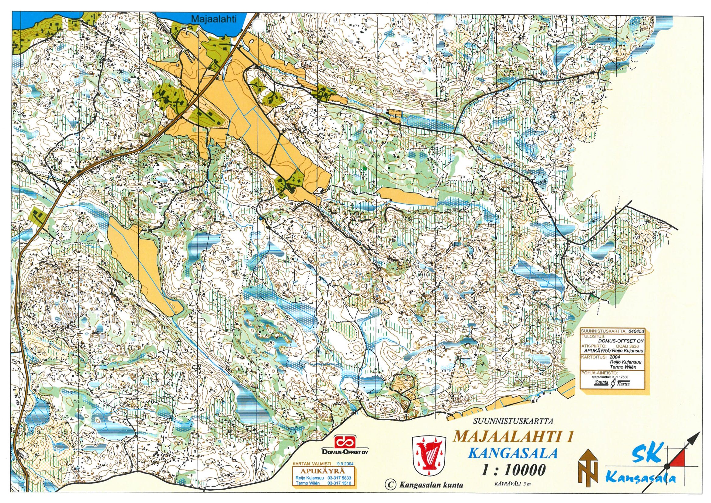
Majaalahti
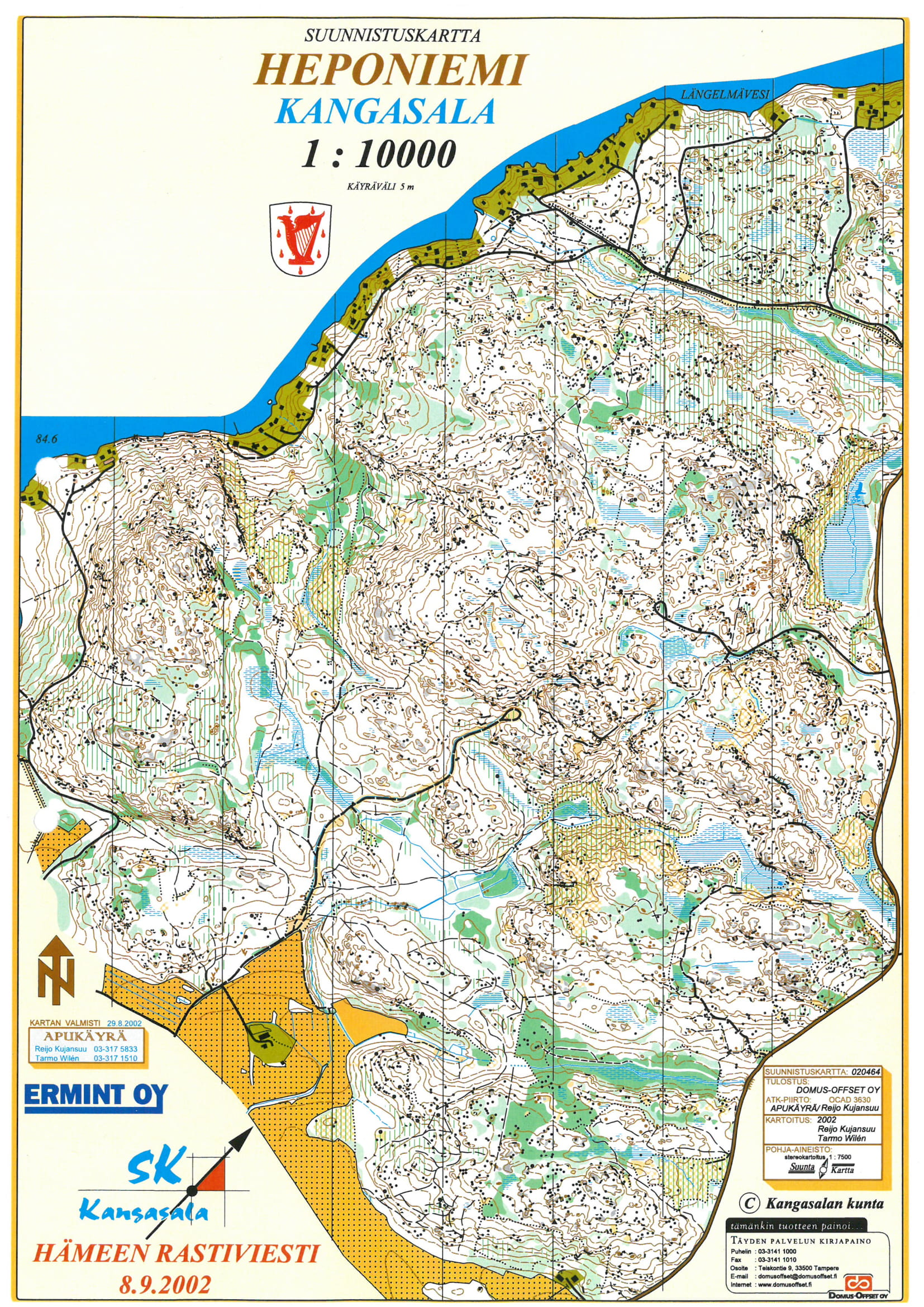
Heponiemi
Pictures from competition area
All photos: Antti Harkko