This year’s Pre-Jukola (Esi-Jukola) will be held right next to the competition terrain of the 2026 Kotka-Jukola. The distance between the competition centres is only a little over one kilometre, so orienteers will be offered a miniature example of what they will encounter in next year’s Kotka-Jukola.
The Pre-Jukola competition area is bordered by a forest area between the southern end of Kymi Airport and Tavastila, which includes both small-scale bare cliff areas and a flatter forest area patched by forest management measures and containing trees of different ages. In general, it can be said about the competition area that the orienteer will encounter several varying types of terrain during his performance, just like in Kotka-Jukola.
The cartographer of the competition map of Kärmeskallio is Janne Weckman, who is also responsible for the map of Kotka-Jukola 2026.
It is of uniform quality throughout and clearly describes the different types of terrain. The course supervisor’s own feeling of the map was that this is the Kymenlaakso area where I have orienteered before. Mapping different greens and navigability has been challenging, which is partly due to the eutrophication of the undergrowth caused by the warm and humid summer and, on the other hand, the difficulty of distinguishing the boundaries of different forest types and some peatlands. However, an experienced orienteer can “smell” these in different parts of the terrain. The terrain is mainly very fast-moving, but the rockiness in places and especially the high undergrowth will slow down the speed. The description of the stones is consistent, but some of them look smaller than their size when viewed from a longer perspective due to the high undergrowth in some places. In bare cliff areas, grey open rock mapping is clear, although it can be difficult to perceive, especially in the dark. There are some short path sections in the terrain caused by the abundant game population, which have not been attempted to be depicted on the map for good reasons. The description of the fairly dense network of paths and trails is otherwise clear.
The course setters of Kotka-Jukola, Tuomas Mattila and Janne Niskanen, have also been responsible for the setting of the courses of Pre-Jukola in a very high-quality manner, making excellent use of the terrain area in use.
In terms of both the individual competition and the relay Viestiliiga, orienteers will face demanding orienteering competition ahead. There is physical running power parts and, on the other hand, orienteering that requires precise controls, where advancing with a precise compass direction is also an asset, especially in “empty” areas. The control points are clear, but the lack of reflectors at the night control points increases the challenge of taking the control even more. The course supervisor does not state or reveal anything about the forkings and route choices, but he himself follows with interest the progress of the GPS trackerpoints in the Pre-Jukola relay, especially as Saturday evening progresses towards the darkness of August. The individual competition will take place in the same terrain as the Viestiliiga event that will be competed later in the evening. Like the organizer of the competition, I remind all orienteers of the ethical and gentlemanly rules of our great sport; competitors of the Viestiliiga should not be advised in the form of displaying a competition map or other instructions. In this way, we guarantee everyone a fair and equal starting point for competing.
I wish all the competitors of Pre-Jukola the best of luck in the varied and demanding terrain of Kärmeskallio!
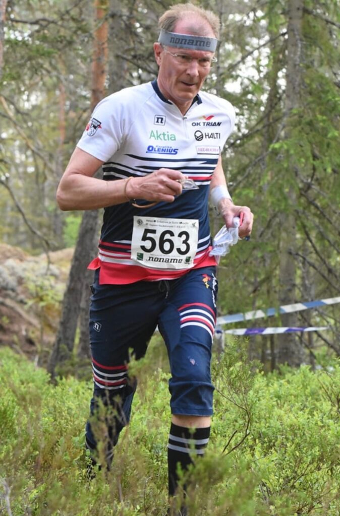
Pekka Vuorinen
OK Trian
Pre-Jukola course supervisor