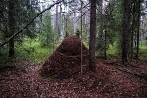
Description of terrain
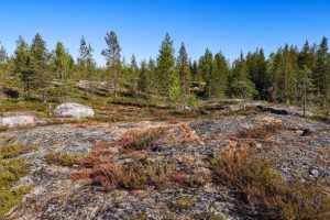
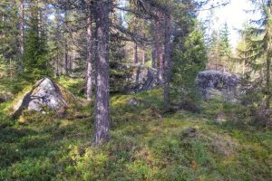
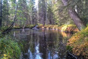
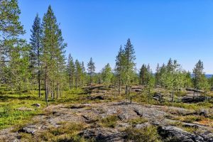
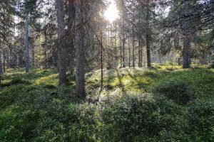
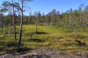
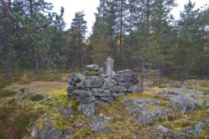
The ground profile in the competition area of the Arctic Circle Jukola is varied, gently sloping mire and peaty forest terrain. The southern parts are lower, while the northern parts are hilly, typical to Western Lapland, with vast open sloping rocks. The total climb between the lowest and the highest point is around 130 metres.
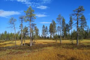
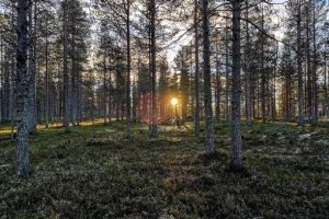
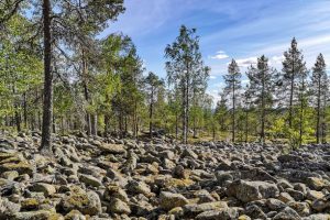
The trees in the area are typical to commercial forests in Lapland, dominated by pines. It is mainly fast terrain with peaty forests, with occasional mires, densely grown ditches and stony areas that may slow you down.
There have many inquires concerning old map of the competition terrain of Arctic Circle Jukola, Arctic-Circle-Jukola-old-map-PDF.pdf
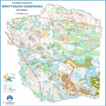
Competition map
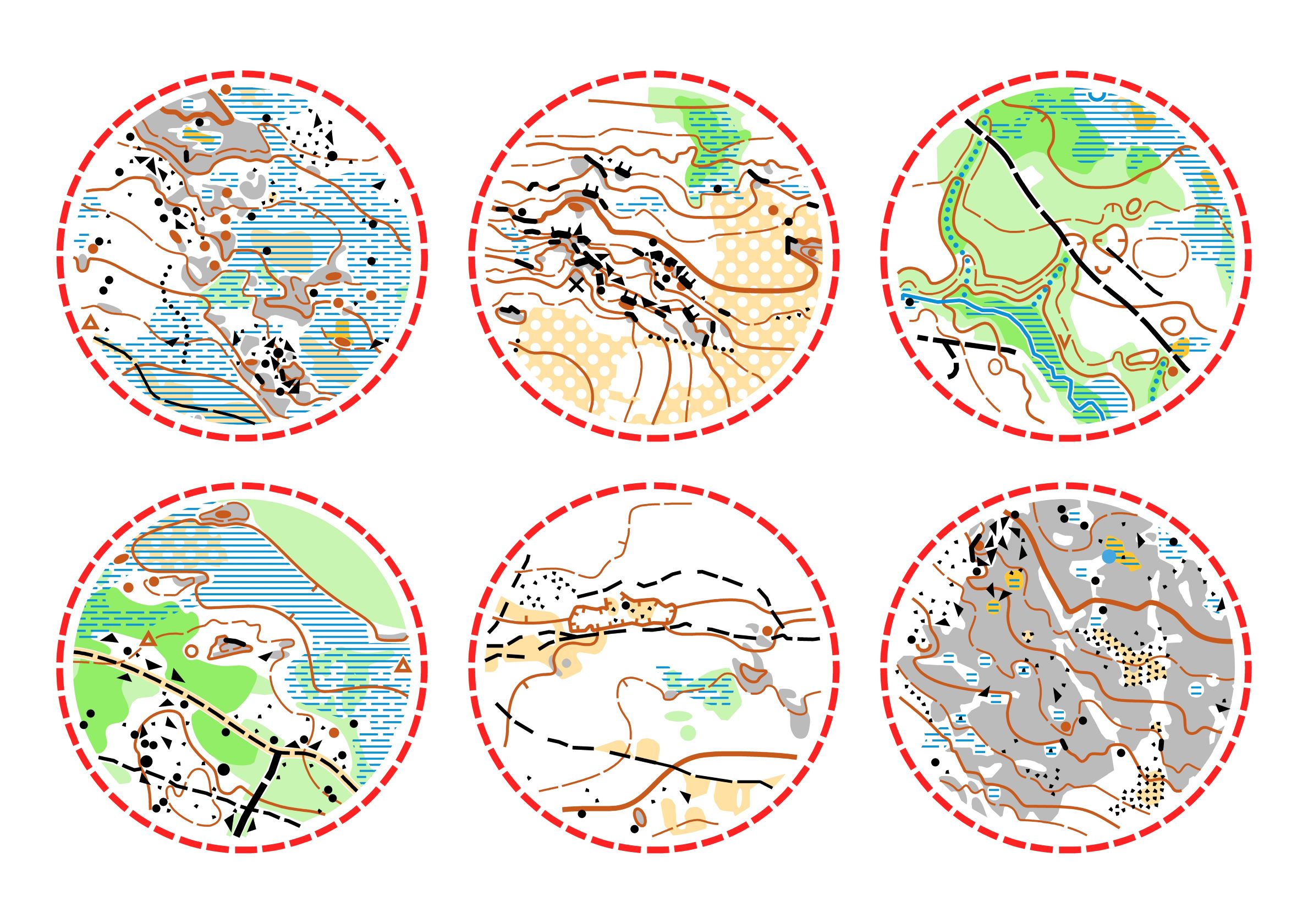
Pieces from competition map. Printed orienteering map with a scale of 1:10 000 and a contour interval of 5 meters.
Mapped by Matti Kivelä 6/2015-10/2019.
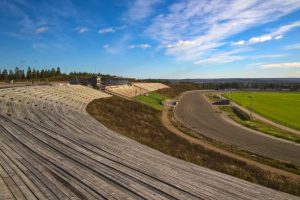
Pictures from competition area
Photos: Matti Kivelä

