Come to train your orienteering skills in South-Western Finland forests! There are several good and challenging enough exercises on the Lukkari-Jukola training terrains. The easiest way is to buy individual maps is directly from Lieto Shell or Neste Mynämäki gas station or Turun Suunnistajan Kauppa. If you order larger quantities of maps, please place that order via email well in advance. See sections “Prices” and “Sales”.
Training terrains
Locations of training terrains in Google Maps view in Google Maps view.
Available training tracks:
- 2 Formunkallio, Mynämäki
- 3 Lemppiönkallio, Mynämäki
- 4 Pirunportti, Mynämäki
- 5 Vanhanpalonkallio, Mynämäki, Model orienteering on Saturday June 18th, 2022
- 6 Palovuori, Lieto
- 7 Parmaharju, Lieto
- 8 Ahteenmetsä, Lieto
- 9 Paijula, Nousiainen
- 10 Neittenlinna, Mynämäki
- 11 Saukonoja, Lieto
Training terrains, maps and locations
#2 Formunkallio, Mynämäki 60.662741, 22.054770

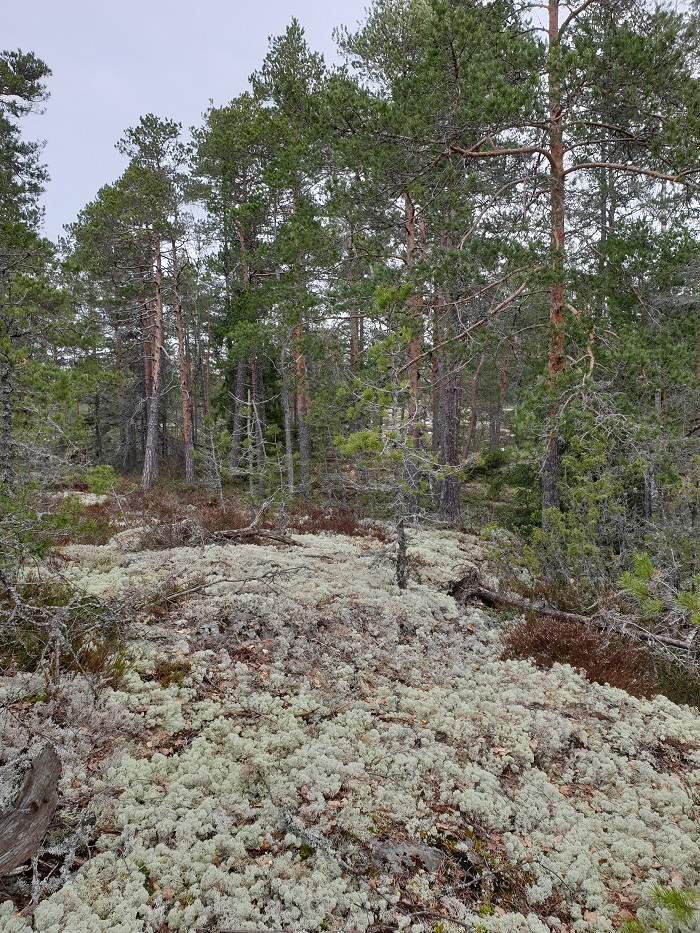
Long distance 8 km and 5 km. In 2017, FinnSpring was held in this terrain. The rocky terrain allows a very fast pace in some places, but in certain areas the terrain also offers some partly steep and quarried stony hills.

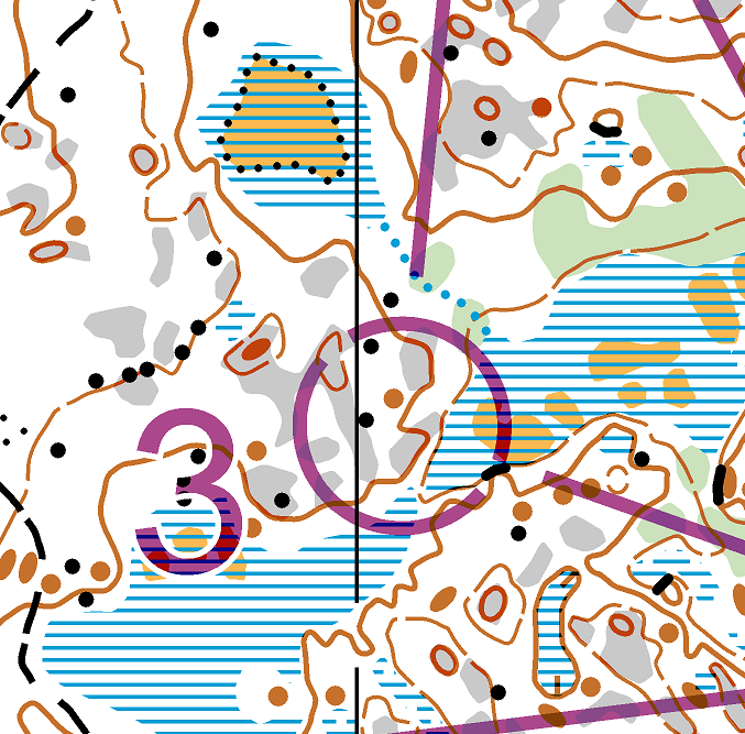
#3 Lemppiönkallio, Mynämäki 60.662741, 22.054770
Orienteering intervals (4×1,5-2 km) offer pacing possibilities in a detailed terrain. This fast terrain was used in FinnSpring competition in 2017.
#4 Pirunportti, Mynämäki 60.662741, 22.054770
Middle distance 6 km and 4 km in a very fast rocky terrain, where Oravatonni an Viestiliiga (Relay league) finals were organised in 2020.
#5 Vanhanpalonkallio, Mynämäki
On Saturday during the competition weekend (June 18th) there is a model orienteering available close to the competition terrain. The mapping, course markings and control setups are the same as the ones used in the competition. There are flags and codes in the control points in the forest. Maps are sold at the Jukola Information centre on Saturday 18th of June from 8:00 AM at 10€/piece. A flagged route to the model event starts from the competition center, and the walking distance to the model event is about 3 km. The flagged route crosses highway 8, where there is a lot of traffic. There is a temporary pedestrian crossing at the crossing point and there are traffic controllers on spot to make the crossing safe. The pedestrian crossing is available only on Saturday from 9:00 AM to 5:00 PM. At any other time it is absolutely forbidden to cross the highway!
As it may be difficult for Venla-relay participants to make it to the model orienteering on Saturday, an alternative model event is available in Paijula on Friday the 17th. The control points are the same as in the training terrain, #9 Paijula. Maps for this model orienteering will be sold in the Jukola Information centre on Friday the 17th of June from 10:00 AM. The mapping, course markings and control setups are the same as the ones used in the competition. There are flags and codes in the control points in the forest.
#6 Palovuori, Lieto 60.510069, 22.392100

Relay training with forking, 6 km. The terrain is contains both fast rocky areas and covered forests with reasonable height differences. Please note that there is a warm-up distance from the car park to the starting point, do not park in the residential area.
#7 Parmaharju, Lieto 60.526253, 22.539394

Middle distance 6 km and 4 km. Legendary Parmaharju is one of the finest terrains in South-Western Finland. It provides physical and cognitive challenges of an international level. Liedon Parma sports house called Parmaharju (as well) is located by this terrain Parmaharju.
#8 Ahteenmetsä, Lieto 60.526253, 22.539394
Long distance 8 km and 5,0 km. Ahteenmetsä is a part of the large rocky terrain of Parmaharju and one of the finest terrains in South-Western Finland. Check also Liedon Parma sports house Parmaharju. Check also Liedon Parma sports house Parmaharju.
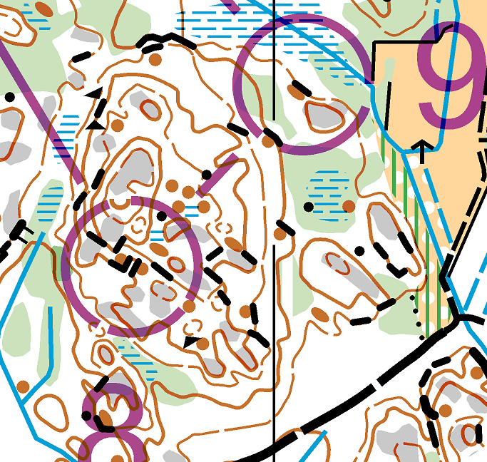
#9 Paijula, Nousiainen 60.605351, 22.019455
Relay training 7 km with forking. This is one of the best terrains of the area and the map neighbours Jukola’s training ban area. The detailed terrain is easy to run on, as there are large rocky areas that are partly spotted with small swamps.
#10 Neittenlinna, Mynämäki 60.510069, 22.392100
Orienteering intervals 4×1,5-2km. Diverse moor spotted with rocky and stony areas.
#11 Saukonoja, Lieto 60.496952, 22.531852
Orienteering intervals 4×1,5-2km. Diverse moor spotted with rocky and stony areas.
Maps
All map scales are 1:10 000, contour interval 5 m. Map size is A4. All training maps are made by Lukkari-Jukola map maker Ari Salonen and updated 2020-2022. Map files (ocd/PDF) will not be sold to clubs for making their own courses. If there are two different lengths of the course available, they are both printed on the same map.
Controls
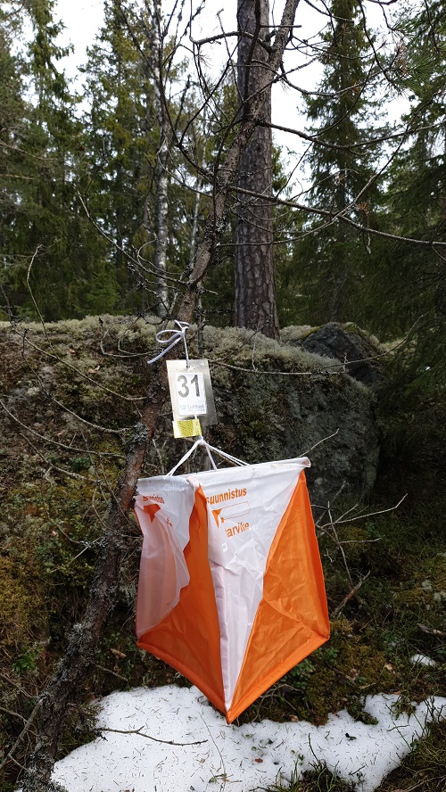
Controls are marked with normal control signs, with code number and Jukola-logo.
Prices
Training map price is 8 €/pcs. If the maps are sent via mail, an extra cost of 5€ is charged per sending. If the maps are to be mailed, please order them two weeks before actual needs, to have them available on time. If you order maps to be picked physically (not by mail), then we recommend that you place an order already a week before the actual date the maps are needed.
Sales
We recommend that single maps will be bought by default directly in Lieto Shell gas station, Neste Mynämäki gas station or Turun Suunnistajan Kauppa. Those maps are there available without any orders. If you need over 10 same maps (of same routes), we recommend you to order the maps from the Jukola office, email: toimisto.2022[at]jukola.com. The maps that are ordered from the office need to be paid by an invoice. When ordering the maps, please provide invoicing address, e-mail address and phone number with the contact person’s name. You can pick up the training maps at Lieto Shell gas station, address Simpukkatie 2, Lieto. An alternative is mailing delivery, see “Prices”.
Training feedback
Please give us feedback on any issues noticed during your training (for example missing control points etc.). Feedback can be sent to palaute.2022[at]jukola.com.

