Twenty years ago, a former clubmate, Swiss national team orienteer Baptiste Rollier, asked an important question during VeVe’s pre-Jukola team meeting: “How do you orienteer here?”
At the time, the question raised a few smiles—but it has stood the test of time and remains highly relevant for all participants in the Jukola and Venla relays. So let’s take a closer look at what Kotka-Jukola has to offer and how to approach orienteering in the terrain surrounding Kymi Airfield.
1. Compass
Using a compass will be crucial in this year’s competition. The area around the airfield includes extensive flat terrain, and the gently sloping rock surfaces are prone to parallel errors.
Without a compass, it is easy to drift in the wrong direction between controls, and with few distinct hills, correcting mistakes can be difficult. So—keep your compass under control!
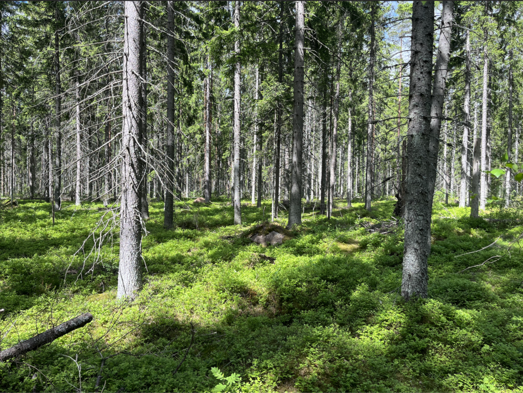
2. Visibility Variation
As is typical in the best terrains of the Kymenlaakso region, visibility varies while runnability generally remains good.
At times, even white forest areas may have limited visibility, making it essential to navigate all the way to the control point—reaching the control circle alone is often not enough. This becomes particularly important during the Jukola night.
3. Runnability of the Terrain
The course statistics already tell the story: elevation differences are moderate, and the terrain is fast with a firm base. A skilled orienteer can maintain high speed from start to finish.
However, the entire competition area is not a “runway”. Rocky ground in places, along with high undergrowth in parts of the marshes and flat areas, will challenge your running stride.
4. A Clear Map
The competition map, with a 2.5 m contour interval, is clear and easy to read. As is typical of maps made by Janne Weckman, what you see on the map is what you will find in the terrain—no unnecessary details or clutter.
That said, there are a few areas with more intricate rock features where the mapper has been put to the test. In these sections, it may be wise to adjust your running speed.
5. Straight Line – or Not?
The fast terrain with relatively small elevation differences may tempt you to think that the straight route is always the fastest. But is it really?
Together with Venla course planner Janne Niskanen, we have aimed to offer meaningful route choices, and the terrain supports this well: trails, features to bypass, a couple of steep hills, and varying runnability.
The straight line is always the shortest—but whether it is the fastest is for the competitors to decide.
6. Rapakivi Terrain
Being in Kymenlaakso, the terrain includes plenty of stones—and rapakivi. Rapakivi is a local specialty: a type of rock that gradually weathers into gravel.
Often, rapakivi formations may look like a boulder from one side and a knoll from the other, depending on the stage of erosion. If your control is on a rapakivi feature, it may be worth checking both sides.
All in all, Kotka-Jukola will offer a balanced mix of technical challenge and high-speed orienteering.
Welcome to Kotka-Jukola!
Tuomas Mattila
Course Planner, Kotka-Jukola